
Dorri Partain
Assistant Editor
Planning a vacation? Long before the creation of GPS and Google Maps, travelers relied on their handy road atlas loaded with fold-out maps and updated highway information.
When President Dwight Eisenhower signed the Federal Aid Highway Act on June 29, 1956 to create the “National System of Interstate and Defense Highways”, it slowly changed how Americans traveled across the nation. The U.S. Highway System, which had connected major cities with smaller towns for generations of travelers, was re-routed to create ‘super-highways’ which bypassed smaller towns and bi-sected major cities with a multitude of access ramps for speedy travel.
The first highway, U.S. 66, also known as Route 66, allowed travelers to drive from Chicago to Los Angeles, albeit in a winding manner that followed the landscape of the land. The Interstate system graded the land for paving, creating a more direct route to major cities and portions of U.S. 66 had been supplanted by I-44 across Missouri and Oklahoma by the mid-1960’s.
As traveling across America via horse-drawn wagons was replaced by automobiles, road maps became more frequent as roads were paved and widened to accommodate more traffic. Rand-McNally published the first road map for autos, the New Automobile Road Map of New York City & Vicinities, in 1904. The Gulf Oil Co. began the frequent practice of handing out free maps to travelers that stopped and asked for directions in 1920.
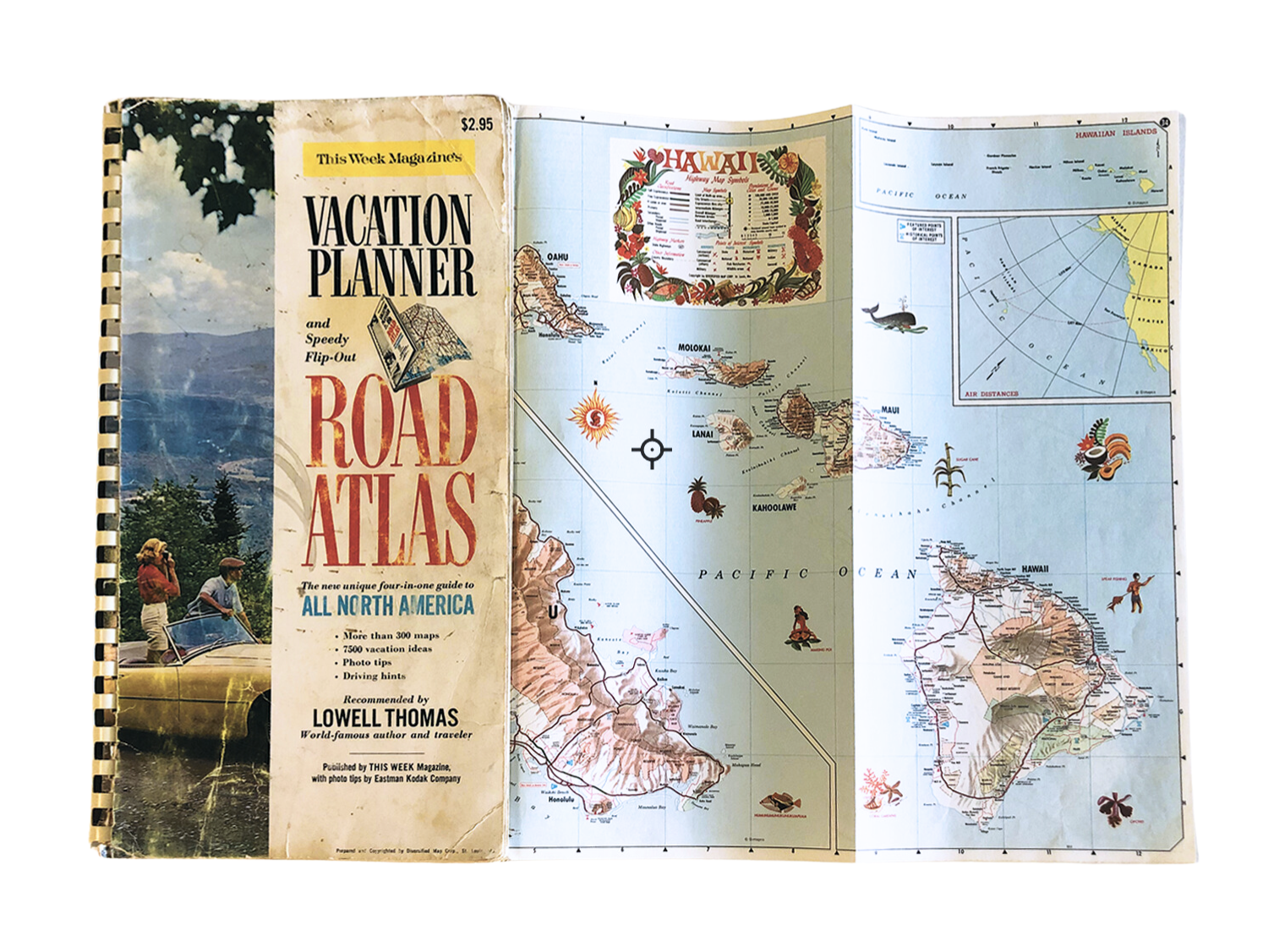
The worn road atlas shown here was produced by This Week Magazine, a weekly supplement that was distributed across the nation to newspaper subscribers and published from 1935-1969. In addition to including maps of all 50 states, the atlas contains flip-out maps for Canada, Latin America, major cities and various national parks.This “unique four-in-one-guide to all North America” sold for $2.95.
A section of travel tips advises travelers driving along the turnpike they should stop “every hundred miles…for a little walk-around. Do some muscle stretching, some knee-bends. Touch your toes with your fingertips”. Another handy tip stated “keep your eye on that speedometer.” A travel diary entry on the last page dates this atlas to 1965.