Michael Bushnell
Publisher
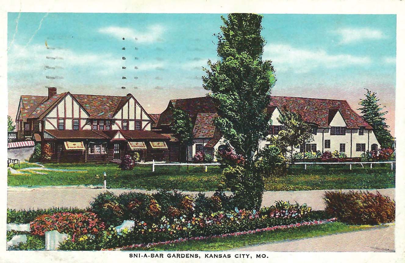
No publisher’s mark exists on this card postmarked Feb. 18, 1938, which shows the Sni-A-Bar Gardens in Kansas City, Mo.
Originally outside the city limits of Kansas City in unincorporated Jackson County, the gardens were a top destination spot for those in search of higher-end dining and dancing entertainment during Kansas City’s “wide-open” period.
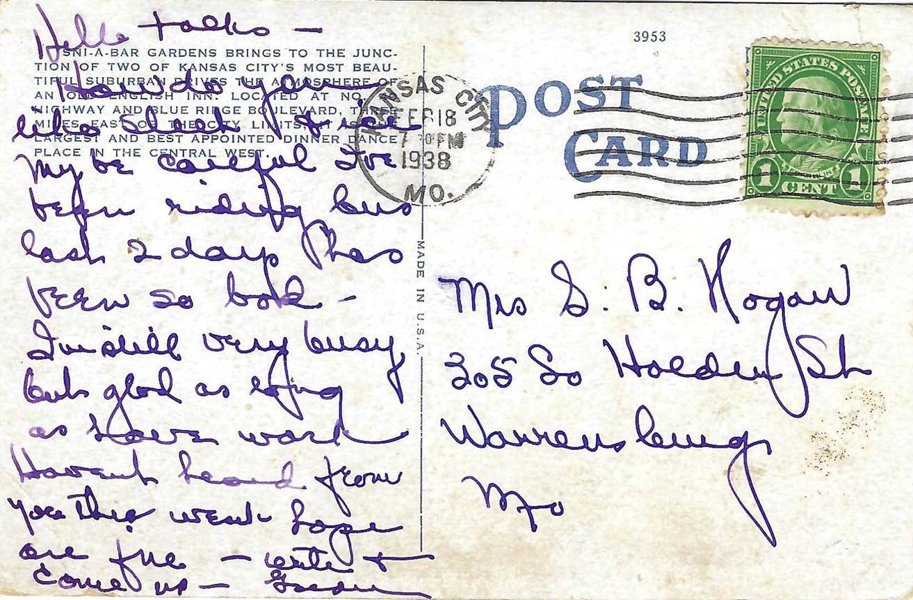
The description on the back states: “Sni-A-Bar Gardens brings to the junction of two of Kansas City’s most beautiful suburban drives the atmosphere of an old English Inn. Located at No. 40 Hiway and Blue Ridge Boulevard, three miles east of the city limits is the largest and best appointed dinner dance place in the central west.”
The name “Sni-A-Bar” was originally given to a creek that traces its headwaters to a small spring in southwestern Lafayette County, Mo. The term “sni” is of French origin meaning “slough” or small creek. The name allegedly came from a French frontiersman named Abar who was charting a course on the Missouri River in the early 1800s.
He began to follow the small creek, originally believing it would wind back to the Missouri River. Needless to say, it did not lead back to the river. Subsequently, the creek or “sni” was named for Abar, and the name has held to this day.
Sni-A-Bar Creek flows generally in a northern direction and passes under I-70 near Grain Valley. It then turns to the northeast and flows into the Missouri River just to the east of Wellington.
During the 1830s, the Sni-A-Bar townships were organized around the creek, encompassing parts of eastern Blue Springs and Grain Valley. Sni-A Bar Creek was a well-known hideout for members of the pro-confederate guerrillas that rode with William Clark Quantrill around the time of the American Civil War. Referred to then as “the Sni,” its tight thickets of forested land and uneven terrain made excellent hiding places for gang members coalescing from wounds and avoiding the numerous Union patrols that roamed the area.