Abby Hoover
Managing Editor
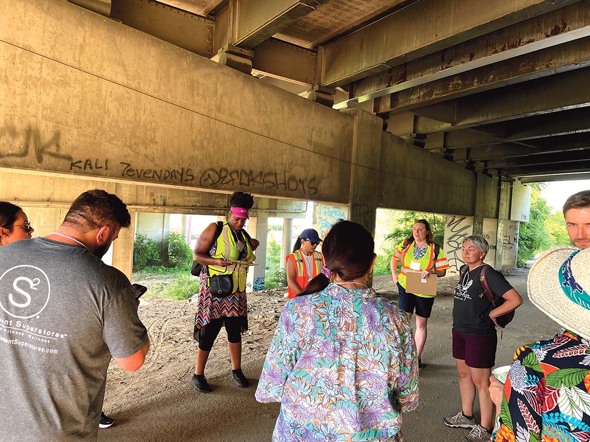
Columbus Park residents participated in a walking tour of their neighborhood with professionals working on the Berkley Riverfront Connectivity Study on Thursday, June 22.
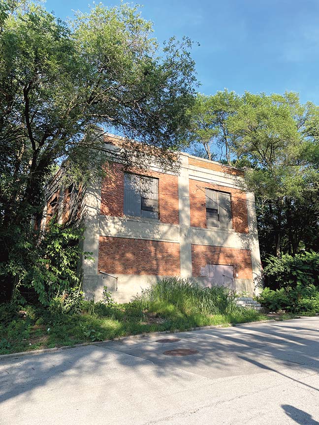
The Columbus Park neighborhood is bordered to the north by an industrial area and Berkley Riverfront Park, on the east and south by Interstate 35, and on the west by the Heart of America Bridge.
PortKC’s efforts to reimagine and redevelop the Berkley Riverfront have created a vibrant, walkable neighborhood connecting Kansas City to its river heritage.
However, the Riverfront neighborhood remains isolated from surrounding neighborhoods due to rail lines, highways and topography barriers that make it difficult for cyclists, pedestrians, and other micro-mobility users to safely travel between the Riverfront and surrounding neighborhoods.
Removing those barriers is even more important now, as the Riverfront prepares to welcome its newest amenities like the home stadium for the Kansas City Current and a new KC Streetcar station.
The Riverfront Connectivity Study will provide detailed planning and coordination to identify strategies to remove barriers and to create high-quality connections between the Riverfront and its adjacent neighborhoods.
The study includes extensive community engagement and route choice analysis of current walking and biking routes through the study area.
Currently, the team is engaging the community to develop consensus on improvement strategies and recommendations through walking audits, interactive online mapping, and pop-up events.
Columbus Park residents started their walking tour with staff working on the study at Garrison Community Center, walking through Guinotte Manor, down to where Cliff Drive meets Dora Street under I-35, where they noted they felt out of place among the industrial and traffic noise and poor infrastructure. From there, they walked up Lydia to 5th, then on to Holmes. And back around to Garrison.
Next, they will assess opportunities by gathering and analyzing data, including route choice for active transportation users.
Then, they will develop conceptual alternatives for active transportation improvements within the Riverfront and connecting to adjacent neighborhoods.
Finally, they will provide recommendations for location and conceptual plan for connections, including grade-separated crossings of railroad tracks for people walking or using active transportation.
The connectivity study will include recommendations for active transportation connections across the railroad tracks to Columbus Park, a connection that currently does not exist, as well as improved connections to the River Market, East Bottoms, and Pendleton Heights.
The study will recommend land use, development, and curb management strategies to support a dynamic, walkable neighborhood as redevelopment continues.
This study began in April 2023 and is expected to conclude in the first quarter of 2024.
If you have questions about the study, contact Sara Copeland, project manager, at skcopeland@burnsmcd.com or Christina Hoxie, community engagement lead, at choxie@hoxiecollective.com. More details are available at burnsmcd.mysocialpinpoint.com/riverfront-connectivity-study.