Michael Bushnell
Publisher
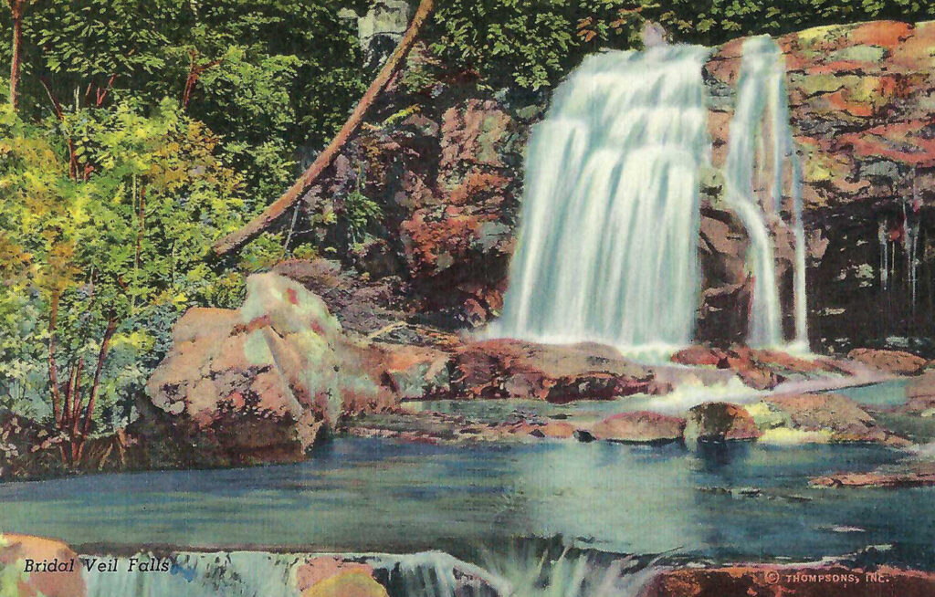
Straddling the border between North Carolina and Tennessee, Great Smoky Mountains National Park encompasses over 520,000 acres, including the Smoky and Blue Ridge Mountains that are home to some of the tallest mountains in eastern North America, such as Clingman’s Dome and Mount Le Conte.
The park was originally founded in 1934 during the Great Depression and benefited greatly by having its early infrastructure built by workers in the Civilian Conservation Corps and the Works Progress Administration. The park was officially dedicated by President Franklin Roosevelt in 1940 and it has the designation of being the first national park that had costs paid by other sources other than state or federal funds. It is also the busiest national park in the system, netting over 12 million visitors annually.
The area of the park was home to a number of indigenous peoples, most notably the Cherokee who made the area their homeland. In 1830 however, with the signing of the Indian Removal Act, most were relocated to Indian Territory, now considered part of the state of Oklahoma. That migration is known as the Trail of Tears. Some of the Cherokee remained, acquiring land along the Oconaluftee River. Their descendants make up the Eastern Band of Cherokee based in Cherokee, N.C.
Bordering the western park boundary is U.S. Highway 129, one of the most popular and physically challenging roadways in America for sports car and motorcycle enthusiasts. Dubbed the Tail of the Dragon, U.S. 129 boasts 317 curves in 11 miles, running from Chilhowee Lake in Tennessee to Deal’s Gap in North Carolina.
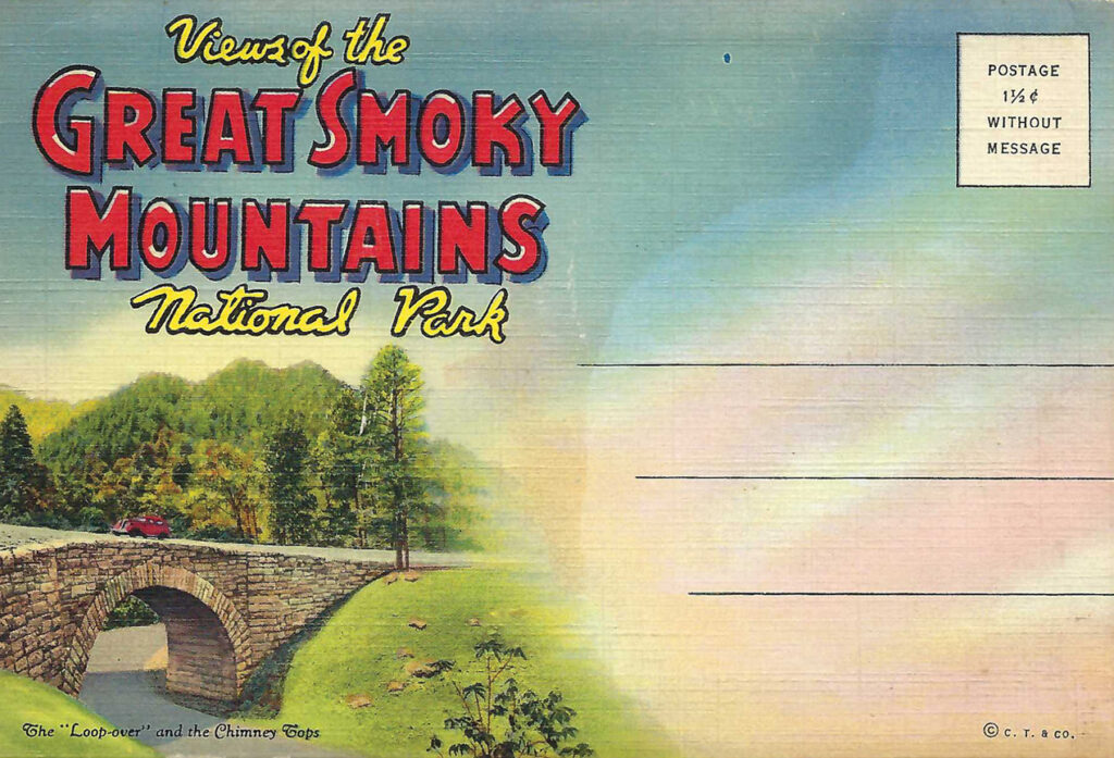
This card is part of a multi-card C.T. Art Colortone travel folder published by the Curt Teich Company of Chicago, Ill. The folder features 20 views of the park, including the Chimney Tops, Skyline Drive near Clingmans Dome and the “loop-over,” part of the roadway up to Newfound Gap. It has never been mailed.