Abby Cambiano
Northeast News
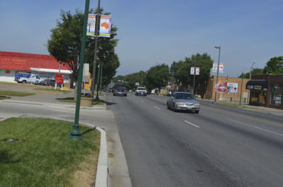
Independence Avenue is the 31st most deadly street for car crashes and fatalities in Kansas and Missouri, according to a recent study by Wendt Law Firm P.C.
The avenue had three crashes and three fatalities per mile, putting it at a 0.84 crash rate for the 3.56 mile stretch from the Paseo to Ewing, where it curves into E. Winner Road.
Out of the 40 most dangerous highways and roads, Missouri had 39 of the 45 segments in the study, while Jackson County was home to five. With 89%of the crashes and fatalities, Missouri was well above Kansas.
“From 2015-2016, we identified 40 segments of state and federal highways where fatal crashes occur at a high rate,” the study read. “These stretches totaled approximately 260 miles of highway that accounted for 162 fatal collisions and 182 fatalities. These segments were then ranked by density, measured by fatalities per mile.”
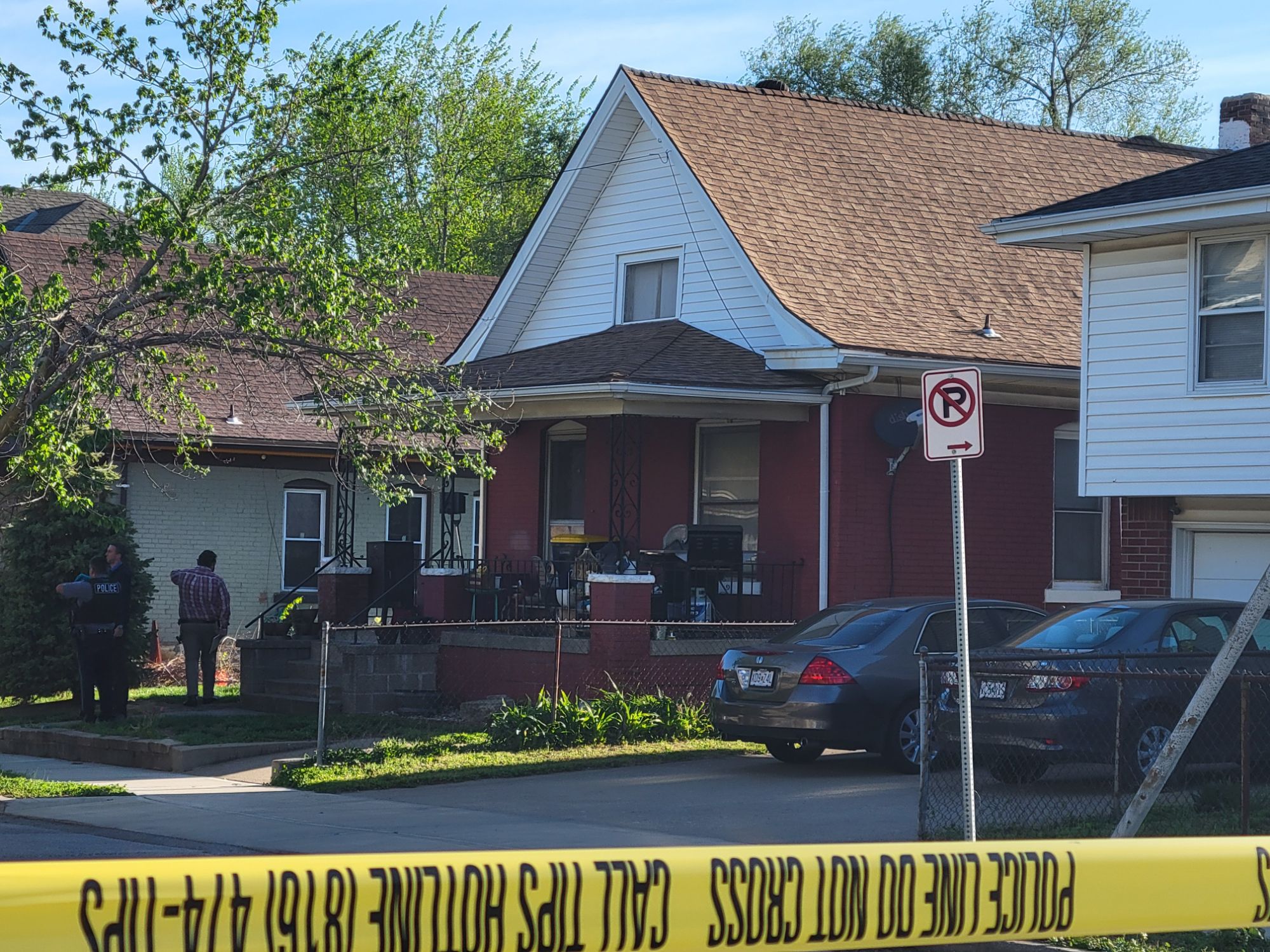
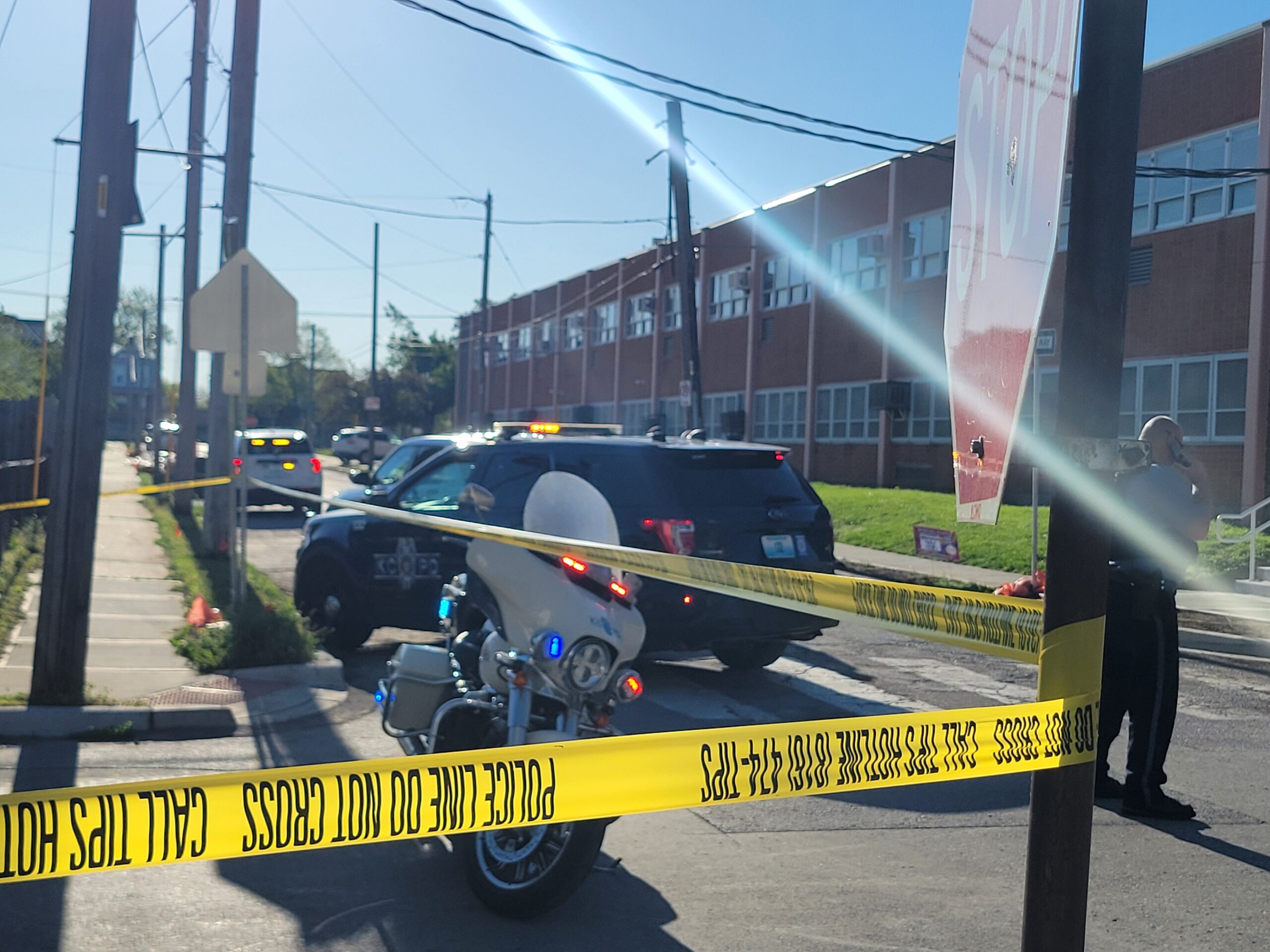
The Northeast has recently had traffic calming techniques installed at problem intersections, as well as continuing to report rampant drivers, but all too often there are crashes on Independence Avenue and in the Historic Northeast.
The St. Louis Metro, which includes St. Louis County and St. Louis City, for the sake of this study, and Jackson County had the most in the state, most likely due to population density.
“In terms of quantity, a segment of Interstate 270 in North St. Louis County had the highest number of crashes and fatalities with nine each,” the study said. “However, this occurred across 10.4 miles of highway for a density of 0.86 fatalities per mile.”
Number one on the list in density is U.S. Highway 24 in east Independence. It was the deadliest in this study by far, with three crashes and three fatalities in just 0.16 miles, which is a total density of 19.1 fatalities per mile. The area is on westbound 24 Highway between the North Blue Mills Drive and South Little Blue Parkway.
Other notable sections in this region include a 7.8-mile stretch of U.S. Highway 71 in south Kansas City accounting for eight crashes and nine total fatalities and a 4.59-mile section of Interstate 435 near the Blue Summit neighborhood accounting for 5 crashes and fatalities, which is a 1.09 crash rate. There is also a 3.45-mile stretch of U.S. Highway 50 with three crashes and three fatal accidents per mile.
“In 2015 and 2016, nearly 2,600 people were killed in motor vehicle collisions in Kansas and Missouri,” the study said.
The Missouri Highway Patrol website shows that there have been 566 fatal crashes in the past year, with 616 people deceased as a result.
The Northeast Kansas City Chamber of Commerce did a safety study in 2017, which showed that heavy crash locations were the intersection of Van Brunt and Independence Avenue with 128 crashes, and the intersection of Hardesty Avenue and Independence Avenue with 79 crashes. Additionally, the intersection with Chestnut Avenue had 35 crashes.
Since then, the chamber has continued to work with the city and residents on traffic calming measures.
View the study at:
https://www.wendtlaw.com/2018/09/20/the-deadliest-highways-in-missouri-and-kansas/