
Michael Bushnell
Publisher
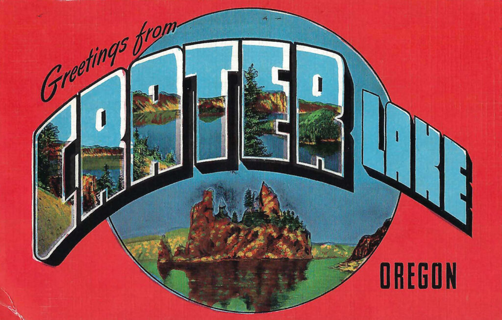
This week we feature a linen-era postcard showcasing another National Park out west, Crater Lake National Park, in south-central Oregon. At a depth of approximately 1,900 feet, it is the deepest lake in the United States and the seventh deepest lake in the world. For a lake this deep, the water is astoundingly clear and blue.
Crater Lake itself was formed when the volcano Mount Mazama collapsed on itself roughly 7700 years ago, forming what is now Crater Lake. Given its unique location, no rivers flow into or out of the lake and it is entirely fed by snowmelt and rainfall. According to statisticians, the total amount of the water in the lake is replaced every 250 years or so.
Stories of the eruption of Mount Mazama can be documented through tales told by the Klamath Indians, descendants of the Makalak people who lived in an area southeast of the present park land. Those stories, since they were imparted orally, take on many different versions. The Umpqua people tell similar stories with different spirits. Artifacts discovered under layers of ash, dust and pumice from the eruption can be carbon dated to the same period of the cataclysmic eruption of Mount Mazama.
In the 1850’s, hostilities erupted between emigrants who had settled in the area around the park. The United States Government established Fort Klamath in 1863, constructing a road from the fort to the town of Prospect in the Rogue River Valley. Two years later, two hunters working with the road crew “discovered” the lake they had heard so much about from the established emigrants as well as through lore passed down by Mountain Men familiar with the indigenous peoples nearby. Sergeant Orsen Stearns in 1865 became the first white person to reach the shore of the lake. A Calvary Captain suggested the name Lake Majesty but a newspaperman named Jim Sutton paid the lake a visit, plying the crystal clear waters with a small canvas boat. Five others joined Sutton in the boat and they paddled to what is now known as Wizard Island where they spent hours exploring the roughly 300-acre volcanic formation that rises from the floor of the lake. In his story for his newspaper, Sutton substituted the name Crater Lake and it stuck.
In 1886, a Kansas native named William Gladstone Steele began mapping the lake for the purposes of creating a protected park space around the lake. During the late 1800’s, a conservation movement was sweeping the nation and during this period, a number of National Parks were created. Finally, after a 17-year effort by Steele and Clarence Dutton with the U.S. Geological Survey, on May 22, 1902, Crater Lake was officially recognized as a National Park by Congress and President Theodore Roosevelt.
Noted outdoors author Zane Grey described his 1919 visit to Crater Lake as such: “I expected something remarkable, but was not prepared for a scene of such wonder and beauty… It seemed a blue gulf… No where else had I ever seen such a shade of blue… How exquisite, rare, unreal!”
This Natural Color Linen Postcard was published by E.C. Kropp of Milwaulkee, Wis.